
This project is now in update mode. Check back regularly to see how things are progressing.


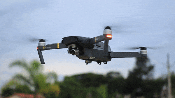
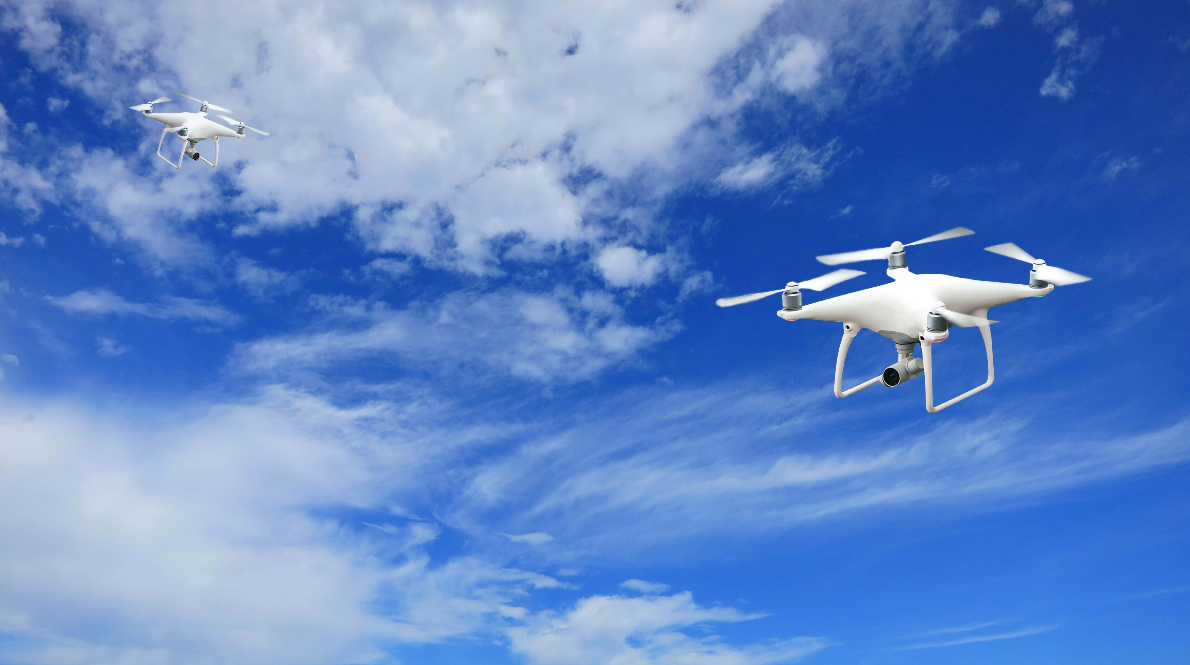
Drone Estimation Lab

How You Can Help
Our team has won a grant from NASA to continue research on our Drone Estimation Lab capstone project in the amount of $60,000 — an amazing award! However, in order to access the full amount of the grant, our team is required to crowdfund at least $2,000, with any excess being used to further research on the project. Please donate today and help DEL receive the full $60,000 grant awarded from NASA!
About the Project:
This project aims to create a system that takes real-time inputs from a flying drone and outputs an accurate state estimation with 3-D error ellipsoid visualization. This system aims to achieve the goal of growing global commercial drone delivery operations safely and efficiently. Flying in dense urban airspace risks can include physical damage to humans or private property. An increase in the confidence in the position of a drone can help mitigate these risks. Drone operators can see and react to collisions or other safety risks in real time, with increased accuracy. Supplying drone operators with accurate 3-D visualized data (error ellipsoids generated from location, speed, and heading) will improve safety within urban drone airspace. Additionally, 3-D visualization can be utilized from drone to drone. If two autonomous drones are able to communicate with each other, they can identify the error ellipsoid around each other and avoid it. This capability will allow for more drones to fly closer together with higher confidence that no collisions or property damage will occur.
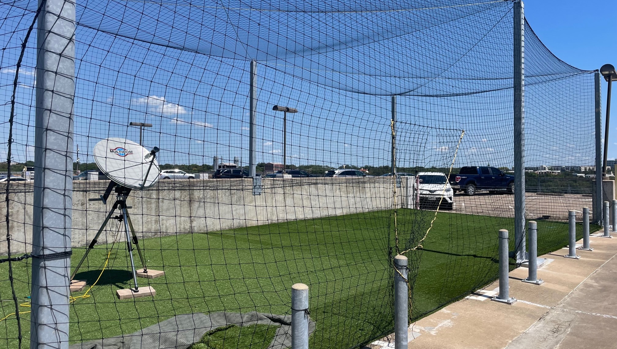
Drone speed and position are currently determined through a variety of sensors on the drone (GPS, IMUs, etc.). These sensors are accurate, but they are not always reliable (GPS denied environments) and each one has a different accuracy. Our approach is to apply an extended Kalman filter (EKF) algorithm to take real-time inputs from the sensors onboard the drones and output a 3-D state with 3-D error ellipsoid visualization using sensor fusion. The EKF creates an initial position vector from the given inputs and iterates. The iteration step updates the position and outputs an error estimate which will be used to create the error ellipsoid. Finally, the EKF outputs the best estimate to the PID controller to stabilize the system.
Kalman filter techniques are currently being used for determining the state of orbiting spacecraft, but they are also beginning to be applied to aircraft and drones. There is a lack of studies regarding using EKF on multiple drones while 3D modeling the error ellipsoids for collision avoidance. Implementing an EKF on multiple drones will help with tracking highly maneuverable drones in a dense drone environment such as a drone port. The drone delivery industry has the potential to grow to a multi-million dollar industry in the next 5-10 years. This technology could possibly save companies millions of dollars when it comes to replacing damaged drones or even lawsuits. State estimation data can later be used to create a centralized Air Traffic Controller for drones that is almost entirely autonomous.

$25
Bronze
Giving at the Bronze level provides us with replacement blades for the drones we will be using
$200
Silver
Giving at this level provides us with an extra battery for longer testing periods to gather more data.
$625
Gold
Giving at this level provides us with a backup RTK sensor, a necessary sensor for our algorithm.
$1,000
Platinum
Giving at this level provides us with half of the funding necessary to reach our goal. Reaching this goal will unlock $30,000 of our $60,000 grant.
$2,000
Diamond
Giving at this level provides us access to the remaining $30,000 of our $60,000 grant
